


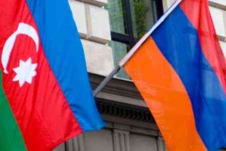
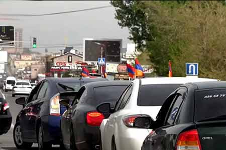
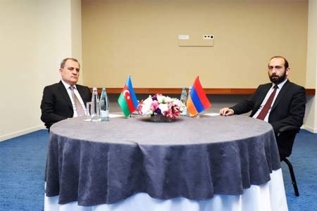
ArmInfo. Expert groups of Azerbaijan and Armenia have begun the process of clarifying the coordinates on the border of the two states, reported the press service of the RA government.
"In accordance with the agreements following the 8th meeting of the commissions on delimitation of the state border between the Republic of Armenia and the Republic of Azerbaijan and the Commission on delimitation of the state border and border security between the Republic of Armenia and the Republic of Azerbaijan on April 23, 2024 on the border between the Republic of Armenia and the Republic of Azerbaijan Expert groups of countries have begun the process of clarifying coordinates based on geodetic measurements on the ground," the statement reads.
On April 8, the parties issued a joint press release in which it was reported that the commissions of Azerbaijan and Armenia on border delimitation had previously agreed on the passage of individual sections between four settlements: Baganis (Armenia) - Baganys Airym (Azerbaijan), Voskepar (Armenia) - Ashagi Askipara ( Azerbaijan), Kirants (Armenia) - Kheyrymli (Azerbaijan) and Berkaber (Armenia) - Gyzylgajili (Azerbaijan) with the aim of bringing them into line with the legally valid border that existed within the Soviet Union at the time of its collapse. It also noted that the description of these sections of the border line will be drawn up taking into account the clarification of the coordinates based on geodetic measurements on the ground, which will be documented in the appropriate protocol description. The document must be agreed upon and signed by the parties, as agreed, before May 15.


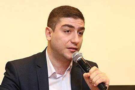

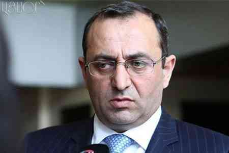

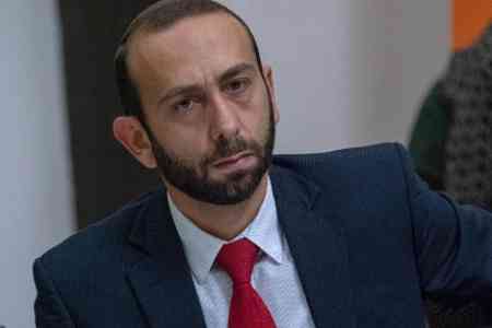


 Political analyst: only way to change situation in Armenia is extraordinary parliamentary elections
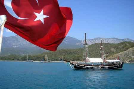
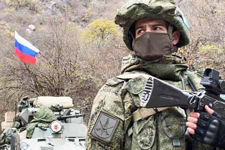
 Armenian general rules out any provocations on Armenian-Turkish border as long as Russian flag hoisted there
  Crossroads of Peace project divorced from reality
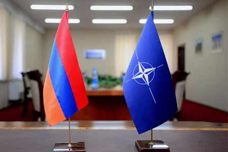
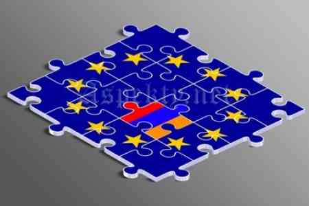
 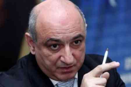 Armenia could hardly join EU of recent years - Boris Navasardyan
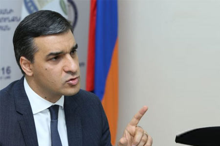
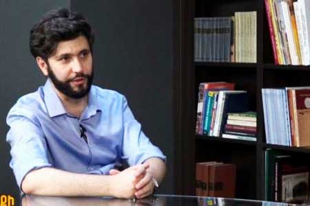 Armenian authorities` actions evidence of country`s movement to elimination of statehood - expert
  May One procession to take place in Yerevan
 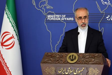 Tehran: foreign troops` presence in South Caucasus does not contribute to establishment of security, stability
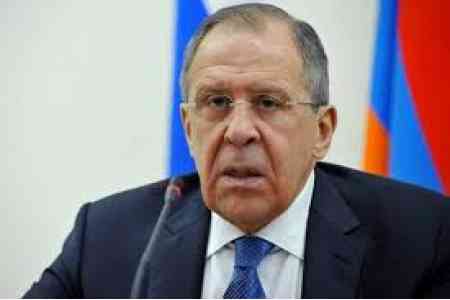 Lavrov: Unilateral concessions by Armenian authorities make Armenia`s borders undefined
 Armenia`s premier meets with residents of Berkaber
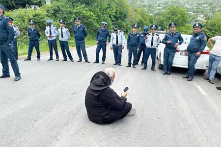
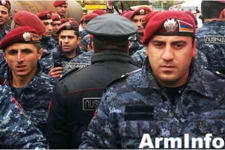
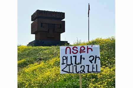
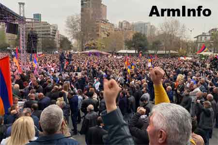 Rally in name of Armenian statehood starts in Voskepar
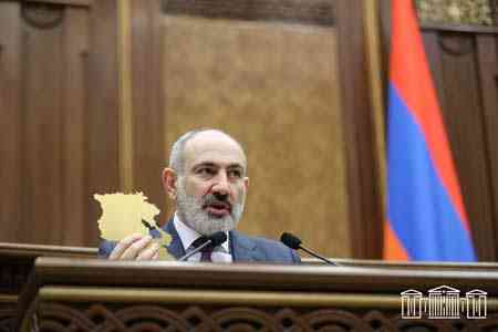
 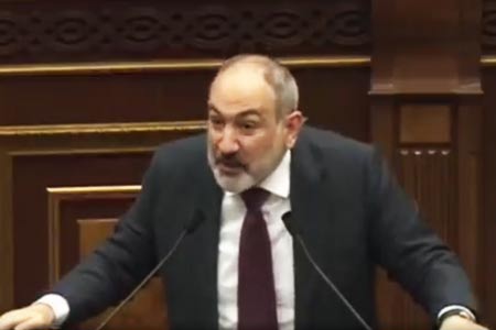 No return to historical Armenia idea! Pashinyan calls on
 Stark and unpleasant as it might be to the Washington establishment, that the best guarantors of Armenian security are Russia and Iran - The American Conservative
 Armenian authorities` policy could affect country`s regional, international prospects - Russian MP
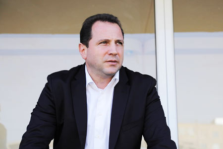
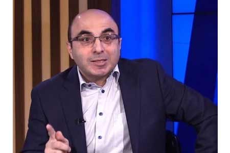 Armenia needs teams work of all active people - expert
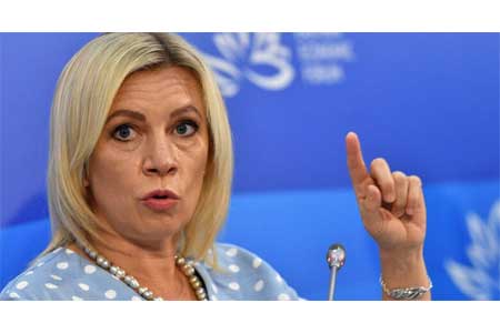 Moscow "testing" its relations with Yerevan
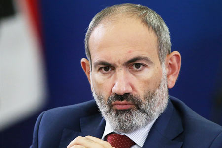 Pashinyan: External forces also provoked main force organizing ethnic cleansing in Karabakh
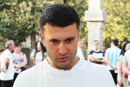
 Our political force will follow path of institutional solutions - ex-mayor of Yerevan
  Large-scale events planned in April - Pashinyan
 Armenian people has to choose between war or premier`s resignation
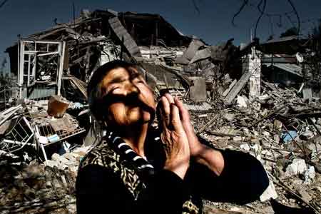
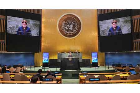
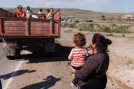 EU increases humanitarian aid to displaced Karabakh Armenians with EUR 5.5 million